Search and rescue teams are on alert and stocks of relief supplies are being pre-positioned especially in the north and east as disaster management authorities brace for the second, and more intense, cyclone season, and subsequent north-east monsoon.
Although cyclones that form deep in the Bay of Bengal rarely see landfall over the island, instead veering northwards to devastate the coasts of India and Bangladesh, their indirect effects cause many deaths and much damage.
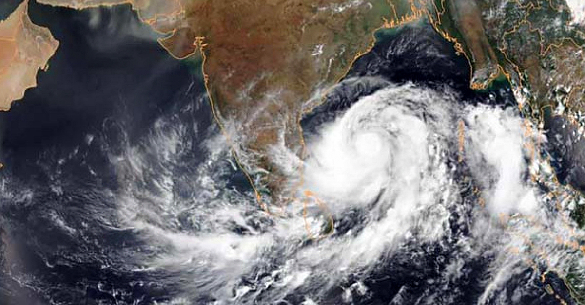
Late last month, a red alert was issued in view of cyclone Nivar. This season’s second cyclone, Burevi, already brewing some 400km offshore, is forecast to cross the island’s coast close to Trincomalee on Tuesday (2 December) night and emerge into the Gulf of Mannar.
Braced For Impact
Known to be among the most devastating of all natural hazards, violent winds and heavy rain from tropical cyclones trigger floods and landslides, resulting in mass evacuation of people and disrupting cultivation, industrial production and transport.
“We’ve trained a lot of search and rescue teams and deployed them in many areas,” said Pradeep Kodippili, deputy director of early warning at the Disaster Management Centre (DMC).
These include Sri Lanka Navy teams with boats — especially in the Northern, Eastern and North Central Provinces, which are prone to flooding.
Emergency preparedness and evacuation plans and drills have been conducted and relief supplies positioned in 16 districts expected to be affected, Kodippili told Roar Media.
The island has two cyclone seasons, also known as inter-monsoon rainy seasons, the first being in May, which comes in between the south-west and north-east monsoons, and the second starting in November.

These rains are critical for rain-fed and irrigated crop cultivation, as well as for power generation — both run-of-the river and hydro-electric reservoir power plants.
Weather forecasting and emergency response preparations have improved over the years as authorities learnt the hard way after facing several disasters, ranging from droughts, floods and landslides to the Indian Ocean tsunami.
The Department of Meteorology forecasts above-normal rainfall is likely during the November 2020 – January 2021 period over most parts of the country, particularly in the Northern, Eastern, Uva and North Central Provinces.
Tracking Cyclones
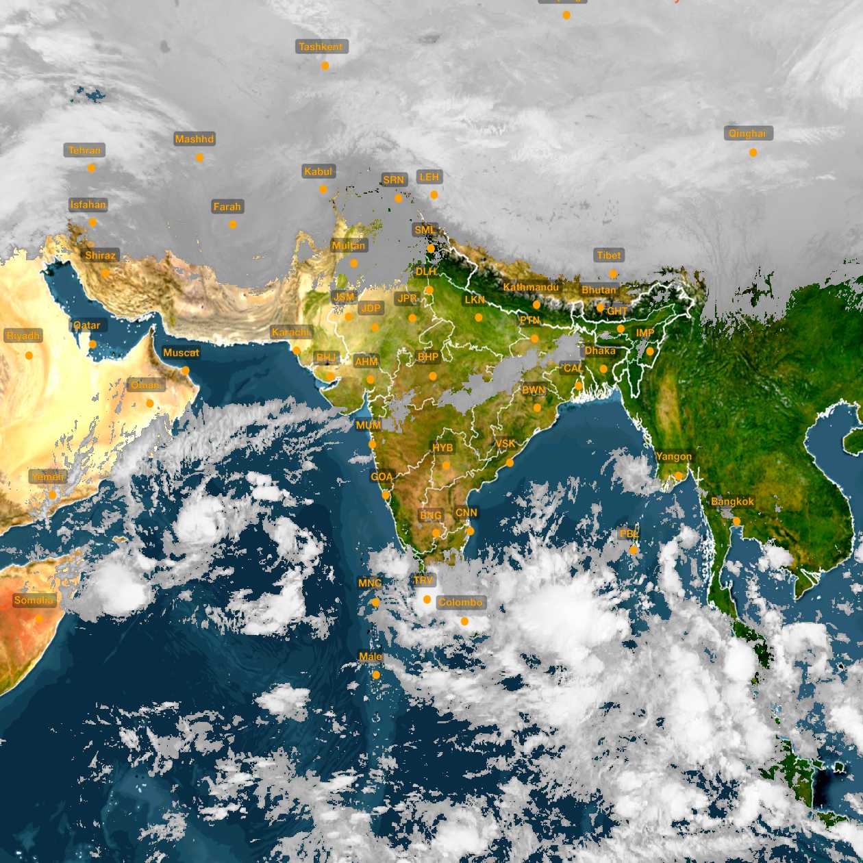
Director General of the department, A.K. Karunanayake, said that they monitor atmospheric disturbances in the Bay of Bengal and Arabian Sea that can intensify into cyclones.
“We can’t predict cyclones with exact precision,” he told Roar Media. “Two ‘Doppler’ weather radars will be installed in (north-western) Puttalam and (north-eastern) Pottuvil, after which we can improve the accuracy of our forecasts.”
A disturbance in the Bay of Bengal that the department was tracking intensified into a cyclone, the season’s first, by 25 November and hit Tamil Nadu, while bringing rain to Sri Lanka’s north, east and north-central areas.

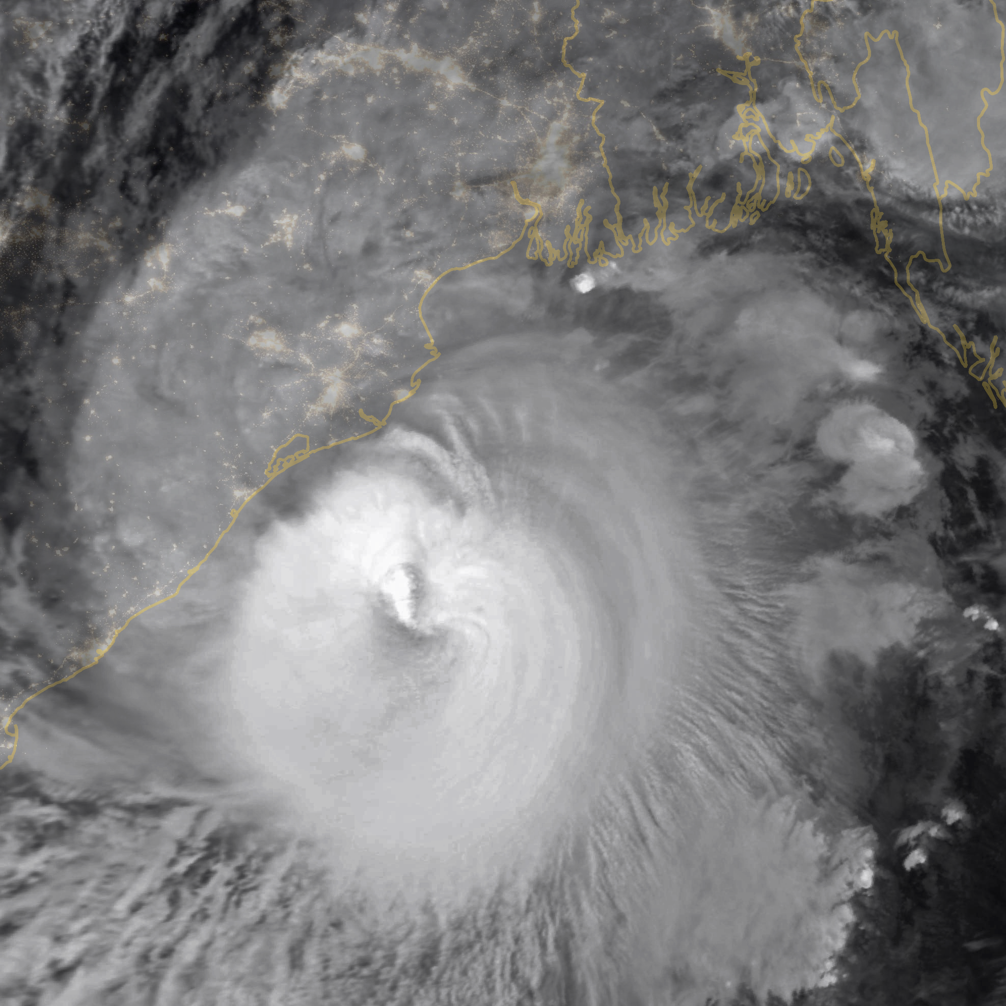
Cyclones form when heated air over large, still, warm low-pressure ocean areas rises to form clouds heavy with moisture, which is then released as rain.
The earth’s rotation causes rising currents of warm air to spiral around the low-pressure centre, which becomes the eye of the cyclone, making the cloud formations spin.
Spiral or feeder bands of clouds, which can extend up to 1,000 km from the eye of the cyclone, can trigger heavy rain and strong winds over Sri Lanka.
Cyclones have much lower air pressure than the surrounding surface air, and the bigger the pressure difference, the stronger the wind force.
Low-level disturbances intensify into low-pressure areas with maximum sustained surface wind speeds of less than 17 knots (31 kmph).
These turn into depressions and deep depressions, with wind speeds increasing to 28–33 knots (50–61 kmph) and rising to 34–47 knots (62–88 kmph) when they are classified as cyclonic storms.
At wind speeds around 100 kmph they are called severe cyclonic storms, with super cyclones having winds speeds of over 220 kmph.
In May 2019, Cyclone Fani battered India’s east coast packing 200 kmph winds.
Advanced warning and timely action, including evacuation of over a million people from coastal villages into specially built cyclone shelters, saved lives, although infrastructure was badly damaged. Some 10,000 people died in a super cyclone in the same area 20 years ago.
Global warming, resulting in higher sea temperatures, is also seen as increasing the frequency and severity of tropical cyclones.
Pandemic Precautions
The DMC’s Kodippili said they were working closely with the security forces, ready to evacuate people to relief centres.
“Special guidelines have been disseminated among disaster management units and all stakeholders as evacuations have to follow health guidelines because of the Covid-19 pandemic, measures we had practised in the south-west monsoon too.”
Spacing and water requirements have been doubled at planned evacuation centres, said Dr Novil Wijesekara of the Disaster Preparedness and Response Division (DPRD) of the Ministry of Health.
“Evacuating people from floods and landslides must be done using the same guidelines, for the virus will not have any mercy on us and will continue to infect rescue and healthcare workers,” he told a north-east monsoon preparedness online meeting held by the DMC on 18 November.
Anusha Warnakulasuriya, director of weather forecasting at the Department of Meteorology, said it was best to prepare for the worst case in the forthcoming rainy season, recalling how in January 2011 the island received a huge amount of rain – over 1,000 mm – in a short period.
“In December and January, most models forecast a high possibility of above normal rain in most parts of the country, especially in the north-east, North Central Province and Uva,” she told the meeting.
“Also, the models suggest above normal rain for February. This is a favourable period for depressions and cyclones. We can expect flash floods as it is common to have over 100mm of rainfall in a short time,” she said.
A high degree of preparedness was necessary in some areas of the North Central Province where the potential flood risk overlapped with that of a high incidence of COVID-19 infections, warned Major General Sudantha Ranasinghe, Director General of the DMC.
Monsoons, associated flooding and landslides, cause the most damages in terms of economic impact and human casualties, according to the United Nations Office for Disaster Risk Reduction.
In 2016, Cyclone Roanu caused exceptional flooding in 24 of the island’s 25 districts, affecting nearly half-a-million people and caused losses of over USD 600 million. Better preparedness is therefore vital to reduce fatalities and financial losses.


